
Map Image
From the dataset abstract
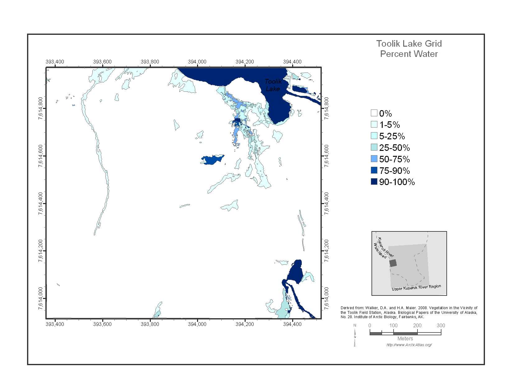
The Toolik Lake Grid map focuses on the south side of Toolik Lake. This area is one of the principal intensive research areas at the Toolik Lake Field Station. It includes many...
Source: Toolik Lake Grid Percent Water
Additional Information
| Field | Value |
|---|---|
| Data last updated | December 17, 2019 |
| Metadata last updated | December 17, 2019 |
| Created | December 17, 2019 |
| Format | image/png |
| License | No License Provided |
| created | over 6 years ago |
| format | PNG |
| has views | True |
| id | b1d5f509-278c-4782-b5b5-88fe058256c8 |
| last modified | over 6 years ago |
| mimetype | image/png |
| on same domain | True |
| package id | defac8f5-07c6-4a5b-a090-838c4d50ae20 |
| position | 1 |
| revision id | 4b0f986b-bcb9-41f6-9d04-551983d0936d |
| size | 58.6 KiB |
| state | active |
| url type | upload |