
Map Image Preview (Nonacidic2 vegetation)
Del resumen del conjunto de datos
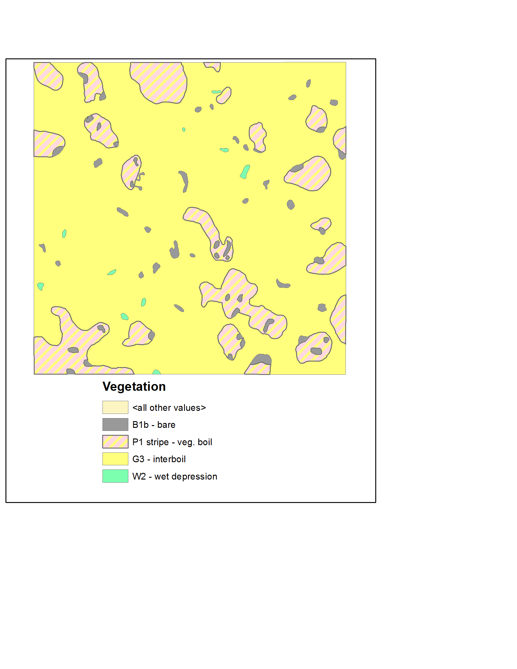
The Sagwon patterned-ground grids are located at the northern edge of the rolling foothills, at the boundary with the flatter coastal plain. This is also the boundary between Subzones E...
Información adicional
| Campo | Valor |
|---|---|
| Última actualización de los datos | Diciembre 17, 2019 |
| Última actualización de los metadatos | Diciembre 17, 2019 |
| Creado | Diciembre 17, 2019 |
| Formato | image/png |
| Licencia | No se ha proporcionado una licencia |
| created | hace 6 años |
| format | PNG |
| has views | True |
| id | 6c8c61ac-141d-44ab-b2b2-81897f4bf557 |
| last modified | hace 6 años |
| mimetype | image/png |
| on same domain | True |
| package id | 39c097bf-ed4f-41a7-918f-e89e81317b26 |
| position | 3 |
| revision id | f2a41cb0-702d-43d0-87a4-01251cba7b93 |
| size | 60,4 KiB |
| state | active |
| url type | upload |