
Map Image Preview
Issu du résumé du jeu de données
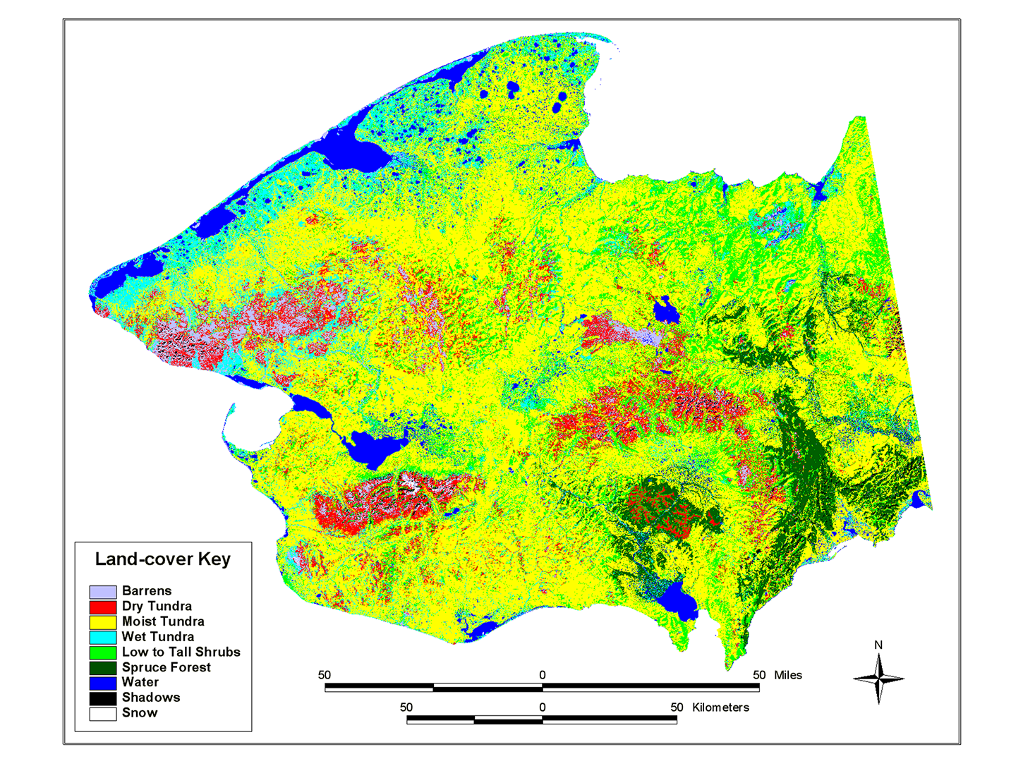
This land cover map of the Seward Peninsula is based on a classification of Multi-Spectral Scanner (MSS) data. The Landsat multiple scene mosaic was furnished by the USGS, EROS Data...
Source: Landsat MSS-derived land-cover map of the Seward Peninsula, Alaska
Informations additionnelles
| Champ | Valeur |
|---|---|
| Dernière modification de la donnée | 17 Décembre 2019 |
| Dernière modification de la métadonnée | 17 Décembre 2019 |
| Créé le | 17 Décembre 2019 |
| Format | image/png |
| Licence | Aucune licence fournie |
| created | Il y a plus de 6 ans |
| format | PNG |
| has views | True |
| id | e4910e36-38e0-4f11-8f41-95d25b14bda7 |
| last modified | Il y a plus de 6 ans |
| mimetype | image/png |
| on same domain | True |
| package id | a36fa90b-c940-40a6-96d8-c968665afb66 |
| position | 2 |
| revision id | e31632be-99e8-4746-a719-0b6ee4faa720 |
| size | 1,3 mébi |
| state | active |
| url type | upload |