Map Image
From the dataset abstract
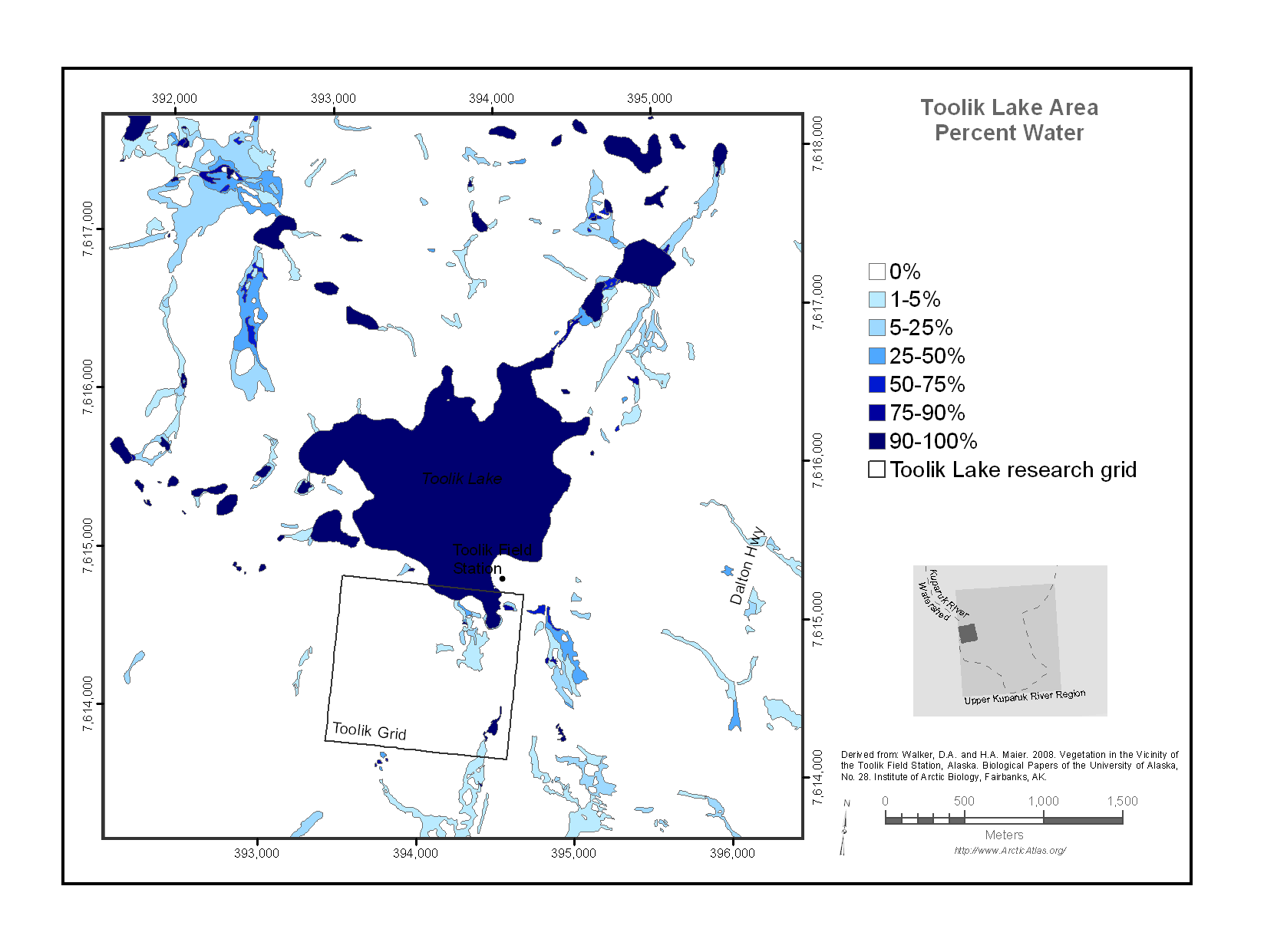
Map of the Toolik Lake research area percent water. The amount of water (lakes, ponds, streams, wetlands), strongly affects the reflectance of the land surface over large areas of Alaska....
Source: Toolik Lake Area Percent Water
Additional Information
| Field | Value |
|---|---|
| Data last updated | 17 de decembro de 2019 |
| Metadata last updated | 17 de decembro de 2019 |
| Created | 17 de decembro de 2019 |
| Format | image/png |
| License | No License Provided |
| created | Vai máis de 6 anos |
| format | PNG |
| has views | True |
| id | dce4f71d-80e2-42c2-8bf7-92c72e36e9e9 |
| last modified | Vai máis de 6 anos |
| mimetype | image/png |
| on same domain | True |
| package id | ed09339f-249b-4a13-919b-2711b1eefd0c |
| position | 1 |
| revision id | 73445a20-e93e-45e8-be04-2a48b71d1e10 |
| size | 79,2 KiB |
| state | active |
| url type | upload |

