
aga_prudhoe_geobotancal_2014.jpg
מתוך תקציר צביר הנתונים
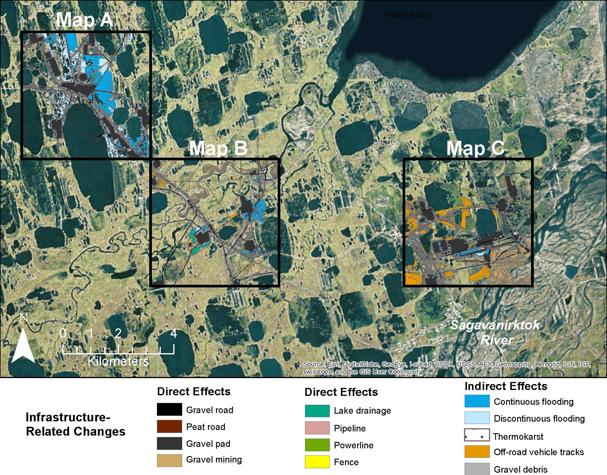
Map B of the historical infrastructure changes for the Prudhoe Bay Oilfield for 10 dates from the initial oil discovery in 1968–2011. Aerial photos taken in 1949 and 1968 were used to...
מידע נוסף
| שדה | ערך |
|---|---|
| עדכון הנתונים האחרון | 17 דצמבר, 2019 |
| עדכון אחרון של נתוני העל | 17 דצמבר, 2019 |
| נוצר ב | 17 דצמבר, 2019 |
| מבנה (Format) | image/jpeg |
| רישיון | לא סופק רישיון |
| created | לפני יותר מ-5 שנים |
| format | JPEG |
| has views | True |
| id | 51f2ed0f-e189-4bfd-91bb-a81c3a04a494 |
| last modified | לפני יותר מ-5 שנים |
| mimetype | image/jpeg |
| on same domain | True |
| package id | 0aa5a30f-cfb7-4401-9284-636f5c1e824c |
| revision id | ef3eb1d4-6af1-4344-b6be-157d0ae55567 |
| size | 429.5 KiB |
| state | active |
| url type | upload |