
marine.png
מתוך תקציר צביר הנתונים
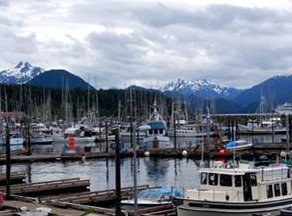
The Marine Resource Planning map of the Southeast Alaska Coastal Module contains vessel traffic, oil spill response layers, mariculture, ESI, earthquakes, spills, landslides, and other...
מידע נוסף
| שדה | ערך |
|---|---|
| עדכון הנתונים האחרון | 17 דצמבר, 2019 |
| עדכון אחרון של נתוני העל | 17 דצמבר, 2019 |
| נוצר ב | 17 דצמבר, 2019 |
| מבנה (Format) | image/png |
| רישיון | לא סופק רישיון |
| created | לפני יותר מ-5 שנים |
| format | PNG |
| has views | True |
| id | 9a53d897-b2e4-4c4c-bda2-08d99a809210 |
| last modified | לפני יותר מ-5 שנים |
| mimetype | image/png |
| on same domain | True |
| package id | 456c08f2-3cc4-43c4-bc81-d22d10af6d25 |
| position | 3 |
| revision id | 6f63aca1-9b75-4ac6-a143-23a1ae6dcf1b |
| size | 136.7 KiB |
| state | active |
| url type | upload |