
Scenery
データセットの概要より
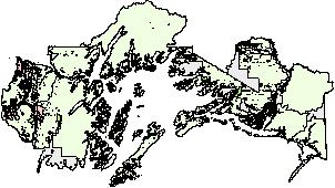
Scenery integrity objectives created as part of the May 2002 Revised Land and Resource Management Plan. Data available from the United States Department of Agriculture Forest Service.
Source: Chugach National Forest GIS – Scenery Integrity Objectives
追加情報
| フィールド | 値 |
|---|---|
| 最終更新日 | 2019 / 12月 / 17, |
| メタデータ最終更新日時 | 2019 / 12月 / 17, |
| 作成日 | 2019 / 12月 / 17, |
| データ形式 | image/jpeg |
| ライセンス | ライセンスが提示されていません |
| created | 6 年以上前 |
| format | JPEG |
| has views | True |
| id | 435b96be-67a3-4ddf-9d51-cc5ef25a3c88 |
| last modified | 6 年以上前 |
| mimetype | image/jpeg |
| on same domain | True |
| package id | 651463eb-5d1b-4a85-a1b9-27a6652c3d31 |
| position | 1 |
| revision id | 46376792-35f6-4b65-96c5-2b71432d4fd9 |
| size | 18 KiB |
| state | active |
| url type | upload |