
Map Image
データセットの概要より
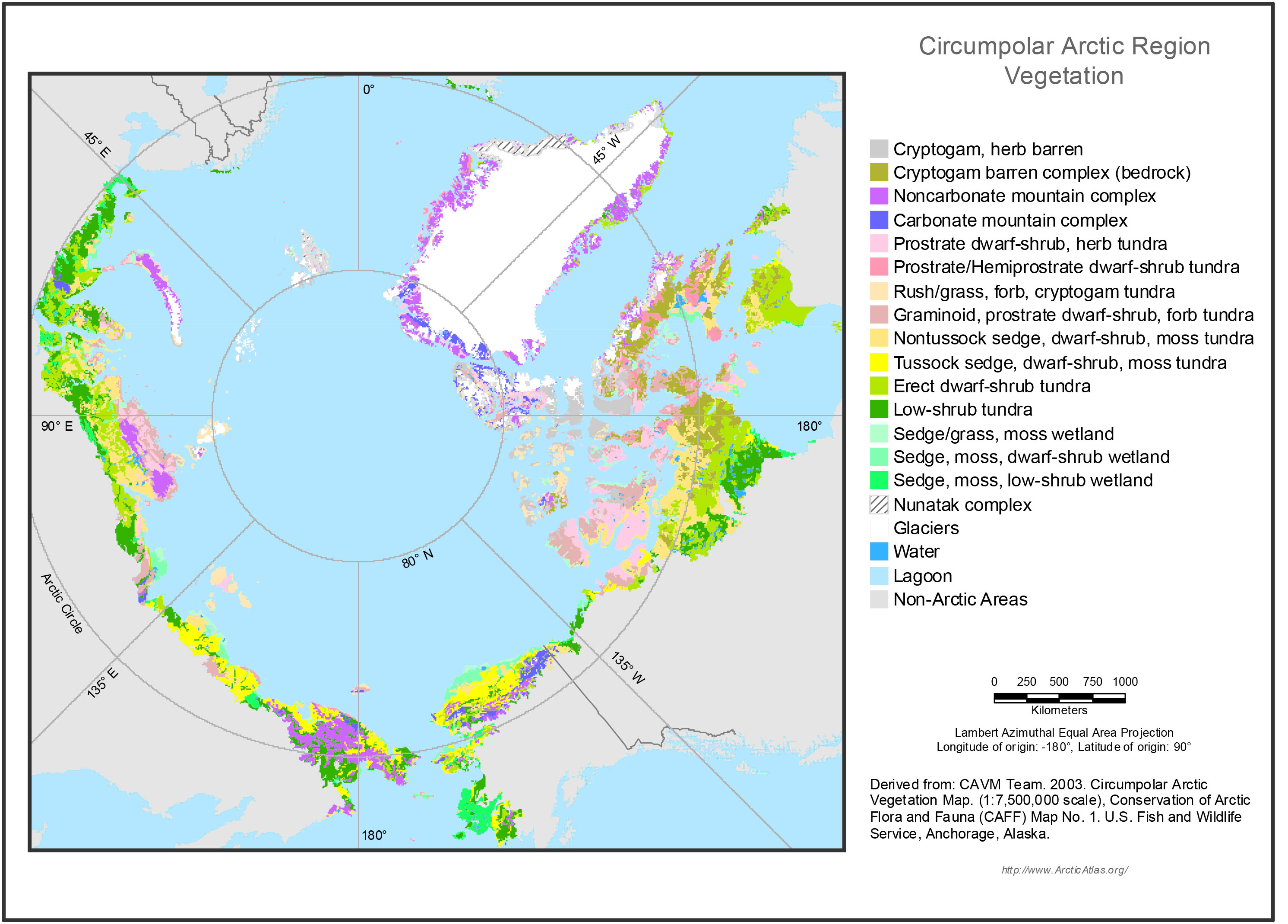
Mapped polygons at 1:7.5 million scale contain many vegetation types. The map portrays the zonal vegetation within each mapped polygon. Zonal sites are areas where the vegetation develops...
Source: Circumpolar Arctic Vegetation Map (Vegetation Layer)
追加情報
| フィールド | 値 |
|---|---|
| 最終更新日 | 2019 / 12月 / 17, |
| メタデータ最終更新日時 | 2019 / 12月 / 17, |
| 作成日 | 2019 / 12月 / 17, |
| データ形式 | image/jpeg |
| ライセンス | ライセンスが提示されていません |
| created | 6 年以上前 |
| format | JPEG |
| has views | True |
| id | 48bc153b-aabd-48a2-af07-59916282f962 |
| last modified | 6 年以上前 |
| mimetype | image/jpeg |
| on same domain | True |
| package id | 373dc309-1eec-4d99-818f-0754de70ff9c |
| position | 1 |
| revision id | d6631746-6d44-4543-8c16-b723f1fc54c0 |
| size | 820.9 KiB |
| state | active |
| url type | upload |