
Map Image Preview
データセットの概要より
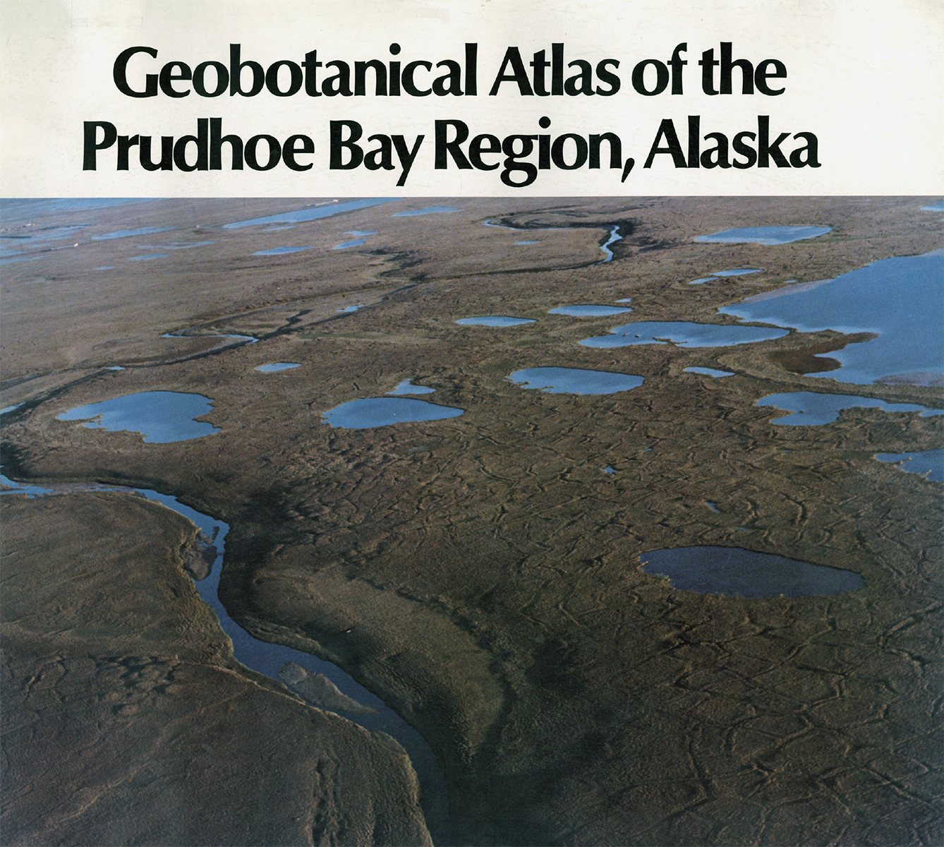
This map covers most of the Prudhoe Bay Oilfield on the North Slope of Alaska that was under development in 1980, covering 145 km^2. The map synthesizes work done for the US Army Corps of...
Source: Geobotanical Atlas of the Prudhoe Bay Region (Walker et al. 1980)
追加情報
| フィールド | 値 |
|---|---|
| 最終更新日 | 2019 / 12月 / 17, |
| メタデータ最終更新日時 | 2019 / 12月 / 17, |
| 作成日 | 2019 / 12月 / 17, |
| データ形式 | image/jpeg |
| ライセンス | ライセンスが提示されていません |
| created | 6 年以上前 |
| format | JPEG |
| has views | True |
| id | d41c39e0-af7c-4f4f-9336-2235bc79ed13 |
| last modified | 6 年以上前 |
| mimetype | image/jpeg |
| on same domain | True |
| package id | d54617b8-146b-4622-89b3-33107cbb416b |
| position | 2 |
| revision id | 81f06477-5fb2-4030-8ee6-f9454d78ccd9 |
| size | 1.3 MiB |
| state | active |
| url type | upload |