
shorelines_map_final.png
データセットの概要より
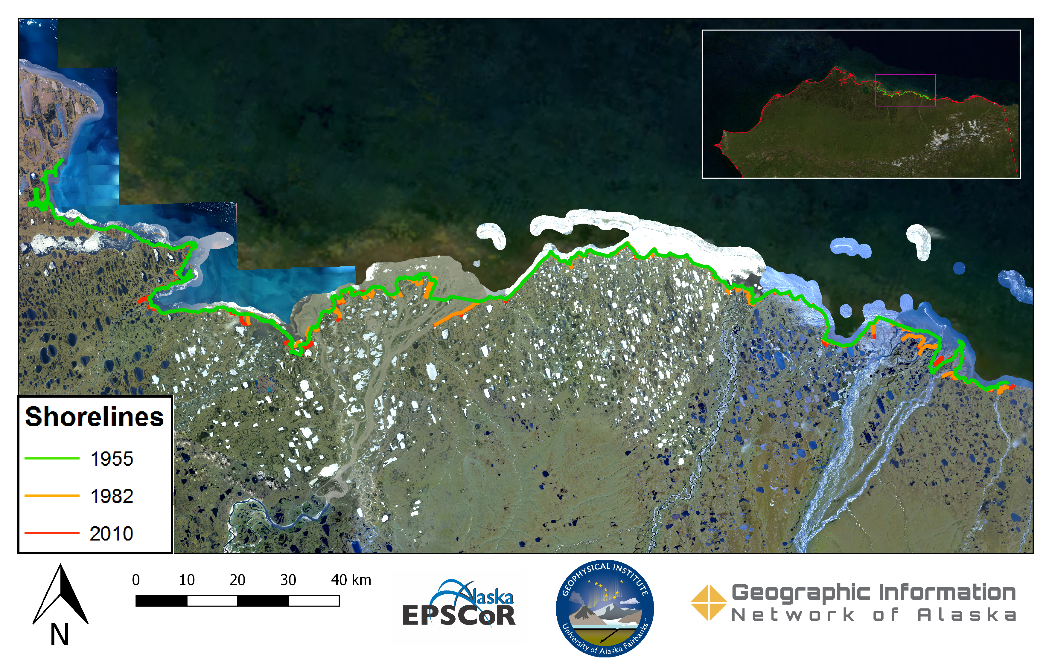
Imagery provided by the Geographic Information Network of Alaska's (GINA) web mapping service were used to delineate shorelines from 1955, 1982, and 2010. 1955 orthoimagery collected by...
追加情報
| フィールド | 値 |
|---|---|
| 最終更新日 | 2019 / 12月 / 17, |
| メタデータ最終更新日時 | 2019 / 12月 / 17, |
| 作成日 | 2019 / 12月 / 17, |
| データ形式 | image/png |
| ライセンス | ライセンスが提示されていません |
| created | 6 年以上前 |
| format | PNG |
| has views | True |
| id | 40b003f2-39dc-4e63-99f2-6e659933186f |
| last modified | 6 年以上前 |
| mimetype | image/png |
| on same domain | True |
| package id | f980aa35-7b18-4d01-aea0-5b7ea262454a |
| position | 1 |
| revision id | e58eb1f0-5b1f-4573-893c-dd237050b738 |
| size | 9.1 MiB |
| state | active |
| url type | upload |