
aga_toolik_grid_surfgeom_walker_2008.png
データセットの概要より
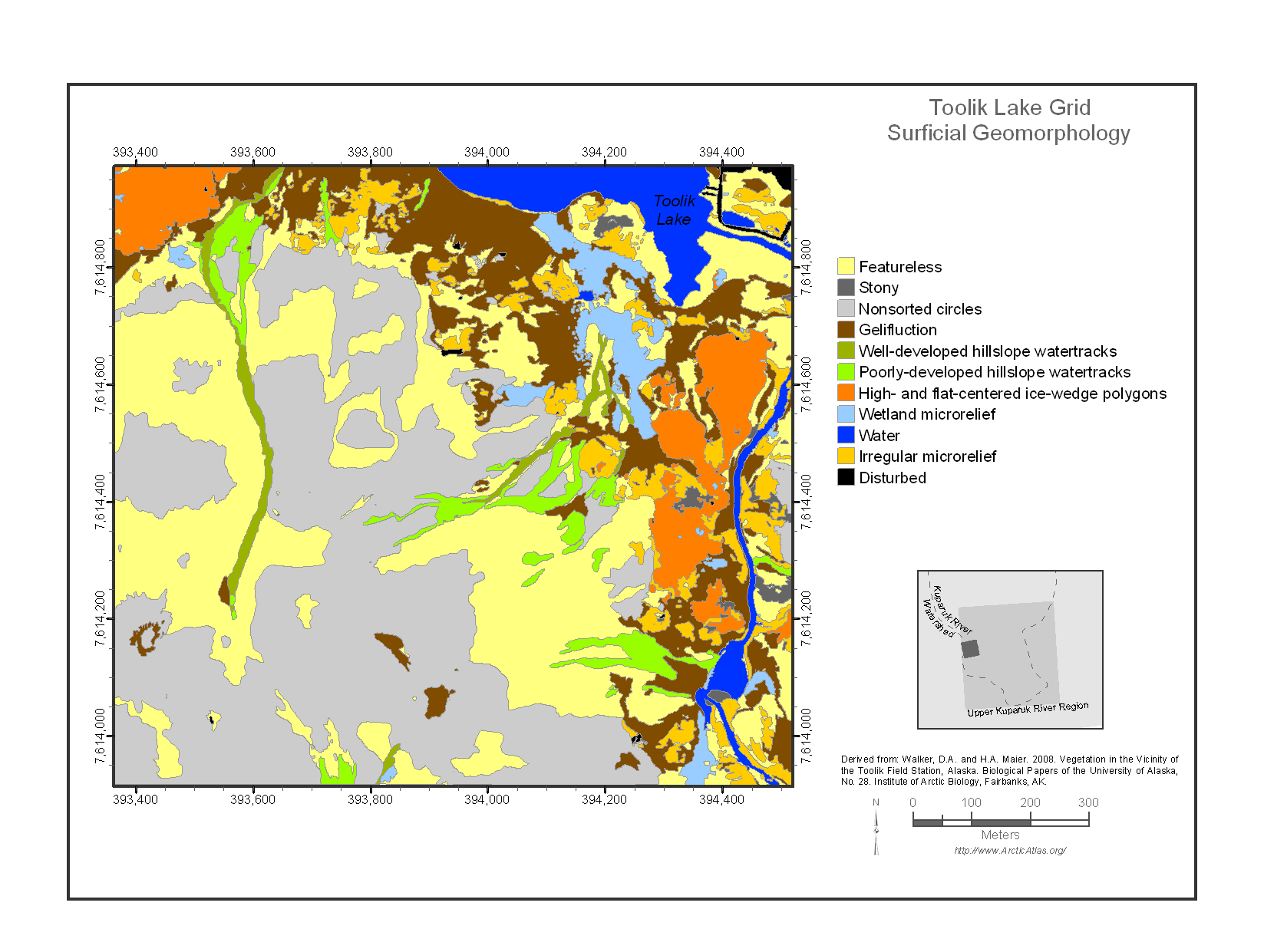
The Toolik Lake Grid map focuses on the south side of Toolik Lake. This area is one of the principal intensive research areas at the Toolik Lake Field Station. It includes many...
追加情報
| フィールド | 値 |
|---|---|
| 最終更新日 | 2019 / 12月 / 17, |
| メタデータ最終更新日時 | 2019 / 12月 / 17, |
| 作成日 | 2019 / 12月 / 17, |
| データ形式 | image/png |
| ライセンス | ライセンスが提示されていません |
| created | 6 年以上前 |
| format | PNG |
| has views | True |
| id | e6f31cdf-2a3c-4206-9fa2-196f42334258 |
| last modified | 6 年以上前 |
| mimetype | image/png |
| on same domain | True |
| package id | 1bef10a3-d020-43f9-a7b4-2fa2bac3096c |
| position | 1 |
| revision id | 8d85f9a9-099e-4c39-9a0f-9272552d4ce1 |
| size | 118.7 KiB |
| state | active |
| url type | upload |