
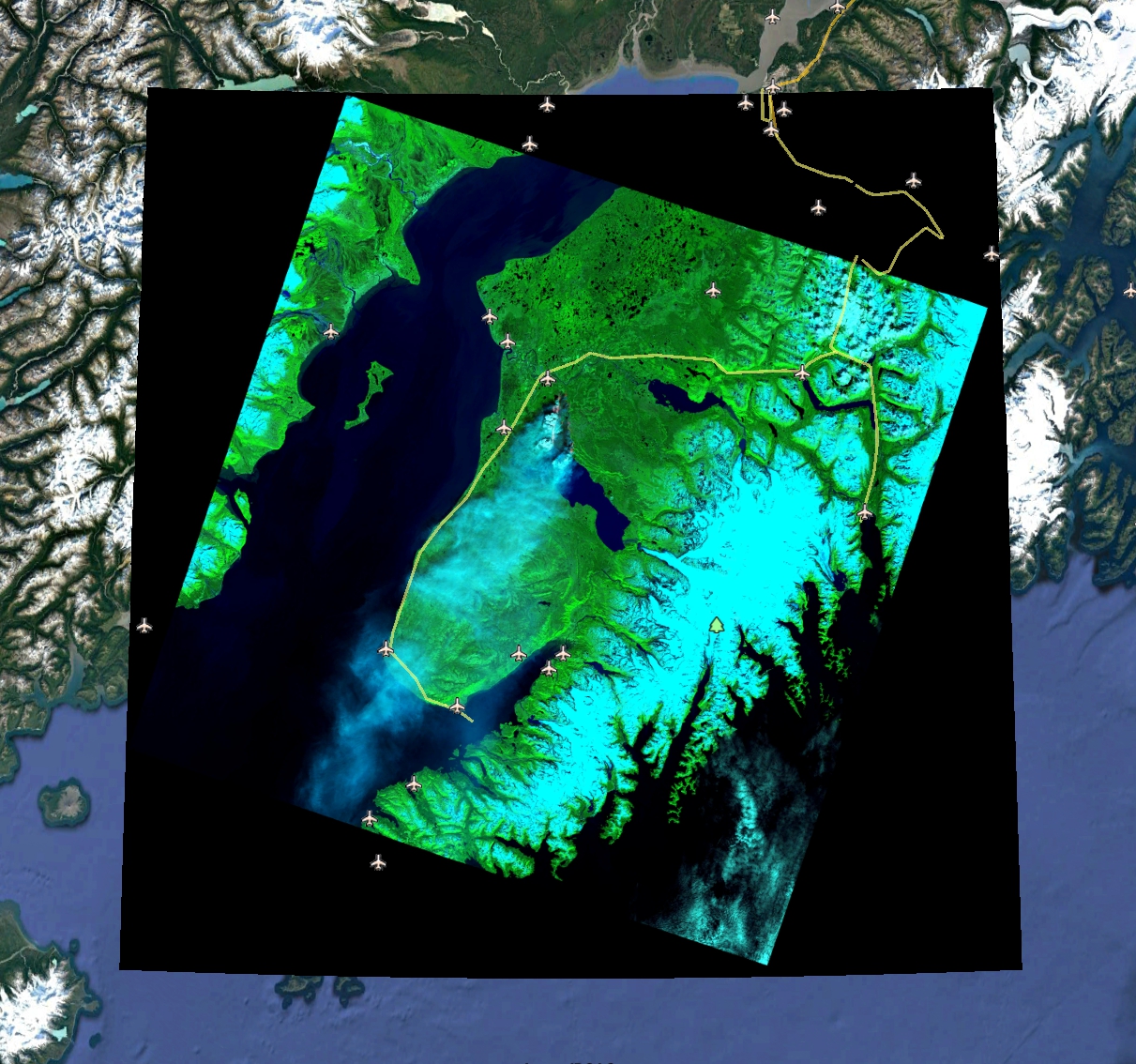
Funny_River_2014_PVT.jpg
データセットの概要より
This data set contains 9 Google Earth files using Landsat and UAS imagery to show details of the Funny River fire in 2014 on Alaska's Kenai Peninsula.
Source: UAA Planetarium & Visualization Theater: 2014 Funny River Fire
追加情報
| フィールド | 値 |
|---|---|
| 最終更新日 | 2019 / 12月 / 17, |
| メタデータ最終更新日時 | 2019 / 12月 / 17, |
| 作成日 | 2019 / 12月 / 17, |
| データ形式 | image/jpeg |
| ライセンス | ライセンスが提示されていません |
| created | 6 年以上前 |
| format | JPEG |
| has views | True |
| id | 403d8fc4-da96-4f7d-8082-24ee1001e1f0 |
| last modified | 6 年以上前 |
| mimetype | image/jpeg |
| on same domain | True |
| package id | e5c3fc74-d02e-45c8-801c-3dafcdb07435 |
| position | 1 |
| revision id | 69e6fef7-463a-4e59-b79c-c7e5a3095f04 |
| size | 993.3 KiB |
| state | active |
| url type | upload |