
aga_prudhoe_c_master_map_2010.png
Z výňatku datasetu (abstrakt)
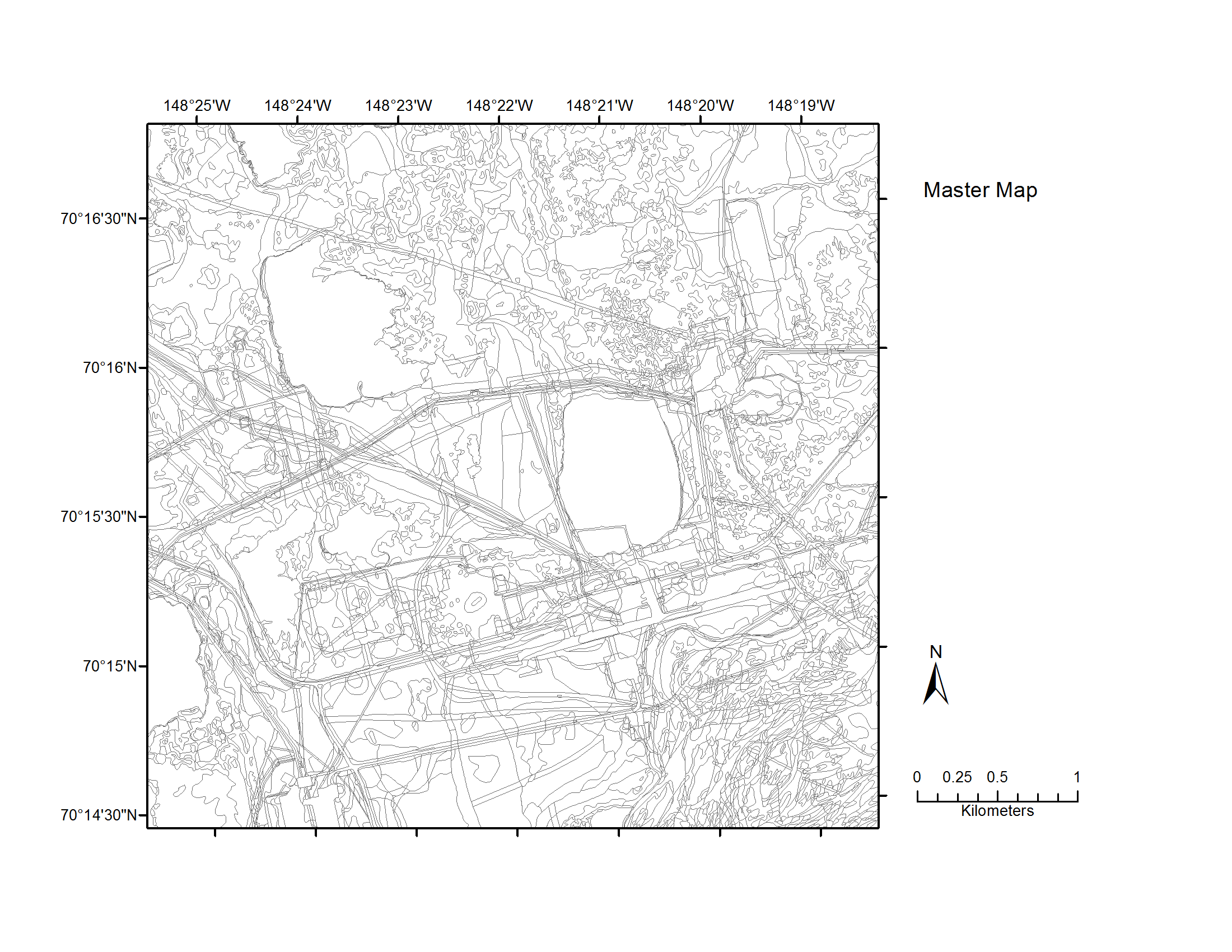
Map C of the historical infrastructure changes for the Prudhoe Bay Oilfield for 10 dates from the initial oil discovery in 1968–2011. Aerial photos taken in 1949 and 1968 were used to...
Doplňujúce informácie
| Pole | Hodnota |
|---|---|
| Data last updated | 17 December, 2019 |
| Metadata last updated | 17 December, 2019 |
| Vytvorené | 17 December, 2019 |
| Formát | image/png |
| Licencia | Neposkytnutá žiadna licencia |
| created | pred viac než 6 rokmi |
| format | PNG |
| has views | True |
| id | e06a507a-1b7c-46b6-b577-ef6916bf043f |
| last modified | pred viac než 6 rokmi |
| mimetype | image/png |
| on same domain | True |
| package id | 14121b28-77df-4681-ab96-884a55fb2daf |
| position | 5 |
| revision id | b7232972-1e46-498b-8c25-47a5e1595edb |
| size | 227 KB |
| state | active |
| url type | upload |