
Map Image
Izvleček iz nabora podatkov
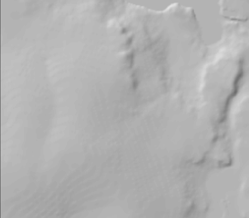
This Digital Elevation Map (DEM) was created from the contour lines of the Aerometrics orthophoto from 1996. In addition the 1 x1 km CALM grid with 121 points (every 100 m) was resurveyed...
Dodatne informacije
| Polje | Vrednost |
|---|---|
| Data last updated | December 17, 2019 |
| Metadata last updated | December 17, 2019 |
| Ustvarjeno | December 17, 2019 |
| Format | image/jpeg |
| Licenca | Licenca ni izbrana |
| created | 6 let nazaj |
| format | JPEG |
| has views | True |
| id | 8c9c6236-89ce-40cd-9a20-e31db7f6a9d3 |
| last modified | 6 let nazaj |
| mimetype | image/jpeg |
| on same domain | True |
| package id | 40852ac2-968b-468a-8033-bbc57ea98849 |
| revision id | 9702ab4b-8e8a-4efe-94e2-fe80409d350d |
| size | 108 KiB |
| state | active |
| url type | upload |