
aga_prudhoe_c_master_map_2010.png
Nga abstrakti i setit të të dhënave
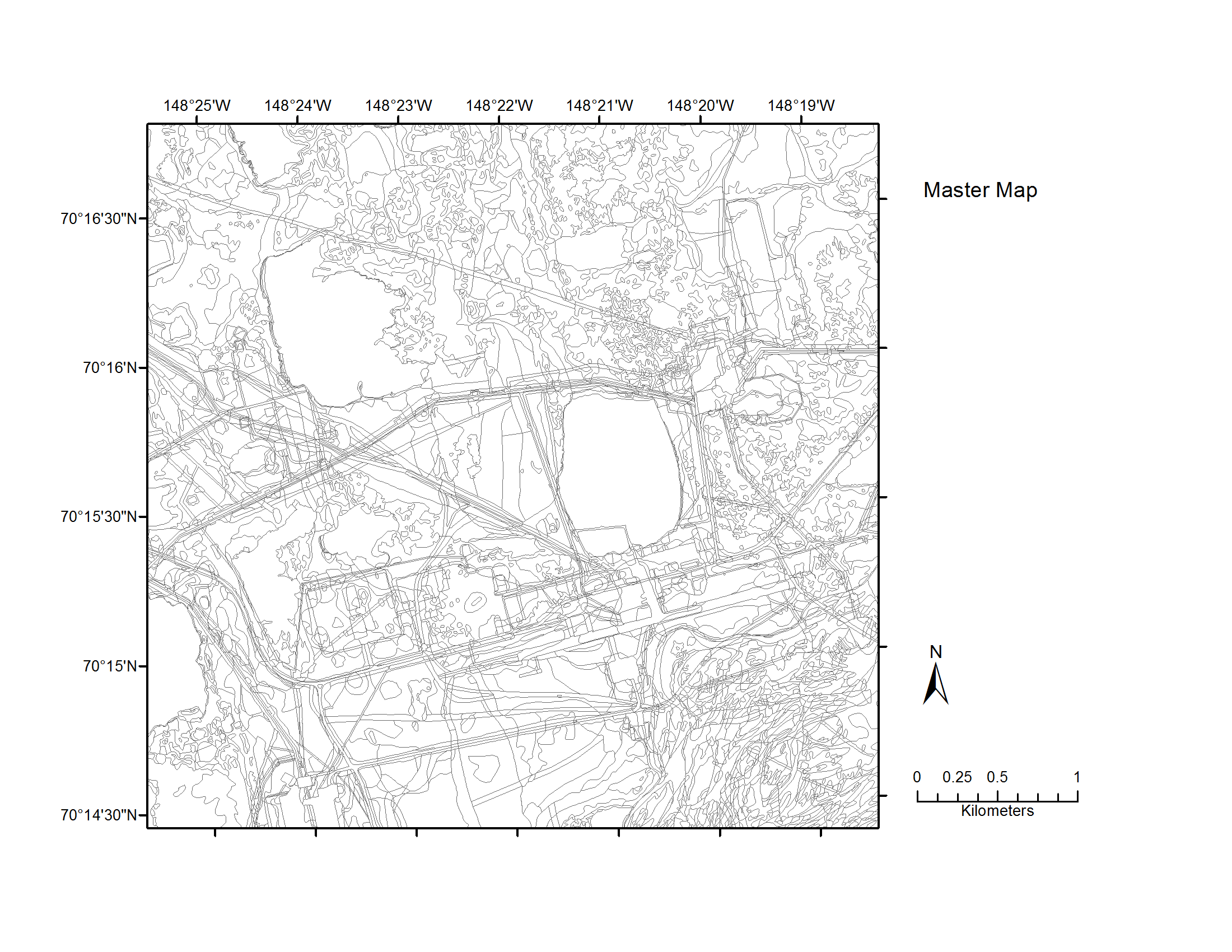
Map C of the historical infrastructure changes for the Prudhoe Bay Oilfield for 10 dates from the initial oil discovery in 1968–2011. Aerial photos taken in 1949 and 1968 were used to...
Informata shtesë
| Fusha | Vlera |
|---|---|
| Data last updated | Dhjetor 17, 2019 |
| Metadata last updated | Dhjetor 17, 2019 |
| U krijua | Dhjetor 17, 2019 |
| Formati | image/png |
| Licenca | Asnjë licencë e pajisur |
| created | over 5 years ago |
| format | PNG |
| has views | True |
| id | e06a507a-1b7c-46b6-b577-ef6916bf043f |
| last modified | over 5 years ago |
| mimetype | image/png |
| on same domain | True |
| package id | 14121b28-77df-4681-ab96-884a55fb2daf |
| position | 5 |
| revision id | b7232972-1e46-498b-8c25-47a5e1595edb |
| size | 227 KiB |
| state | active |
| url type | upload |