
Map Image
Nga abstrakti i setit të të dhënave
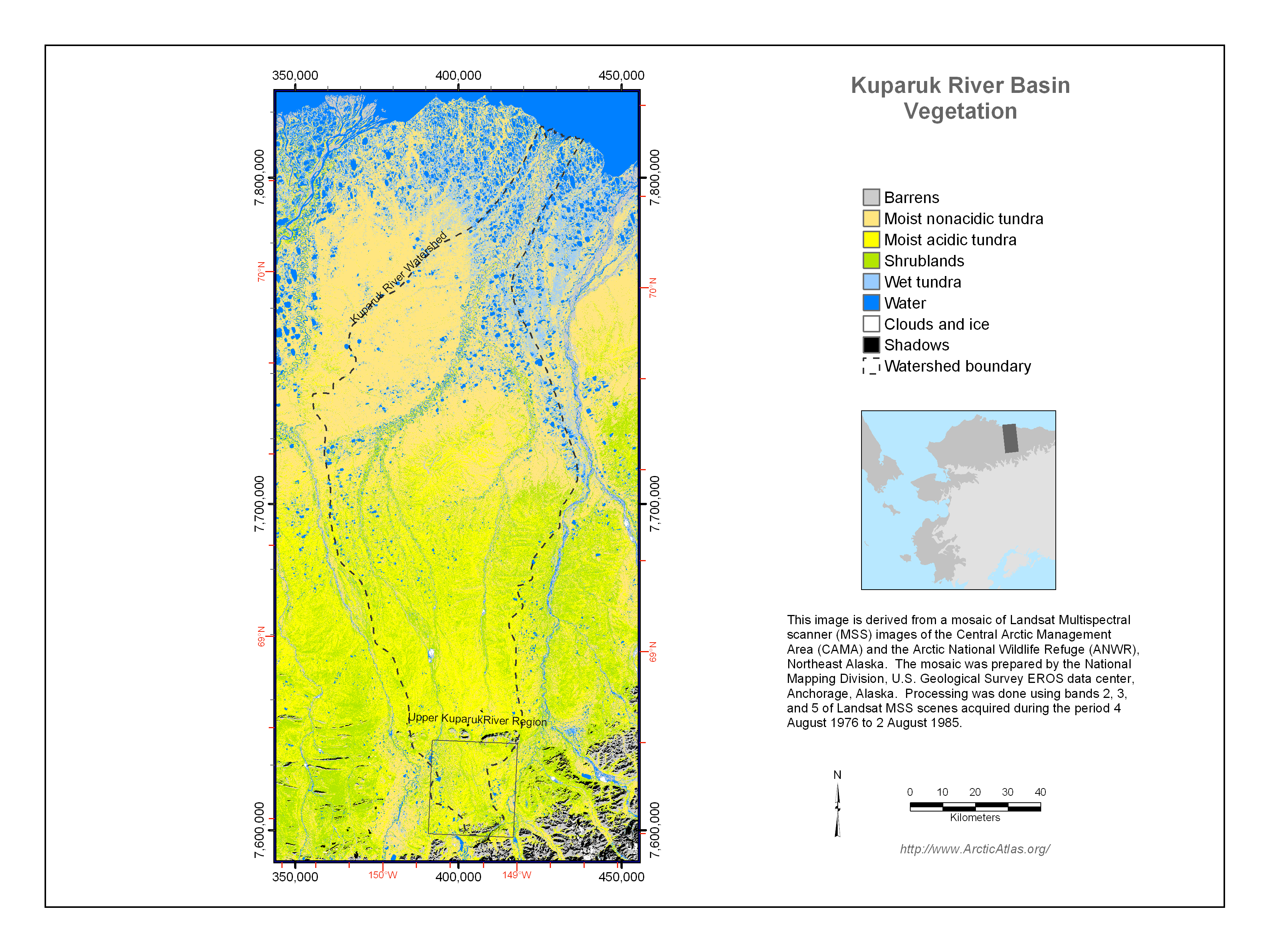
The vegetation of the Kuparuk River watershed was mapped for several US National Science Foundation projects, including the Arctic System Science Flux Study and the Long-Term Ecological...
Burimi: Kuparuk River Basin Vegetation Map (Muller et al. 1998)
Informata shtesë
| Fusha | Vlera |
|---|---|
| Data last updated | Dhjetor 17, 2019 |
| Metadata last updated | Dhjetor 17, 2019 |
| U krijua | Dhjetor 17, 2019 |
| Formati | image/png |
| Licenca | Asnjë licencë e pajisur |
| created | over 5 years ago |
| format | PNG |
| has views | True |
| id | 7369e652-005e-480d-8b20-8da2c9da7188 |
| last modified | over 5 years ago |
| mimetype | image/png |
| on same domain | True |
| package id | dca96ea1-f56f-41ad-8156-a76791670da8 |
| position | 4 |
| revision id | 375b40eb-8829-400a-8ab8-2c6eda102e47 |
| size | 1,1 MiB |
| state | active |
| url type | upload |