
shorelines_map_final.png
From the dataset abstract
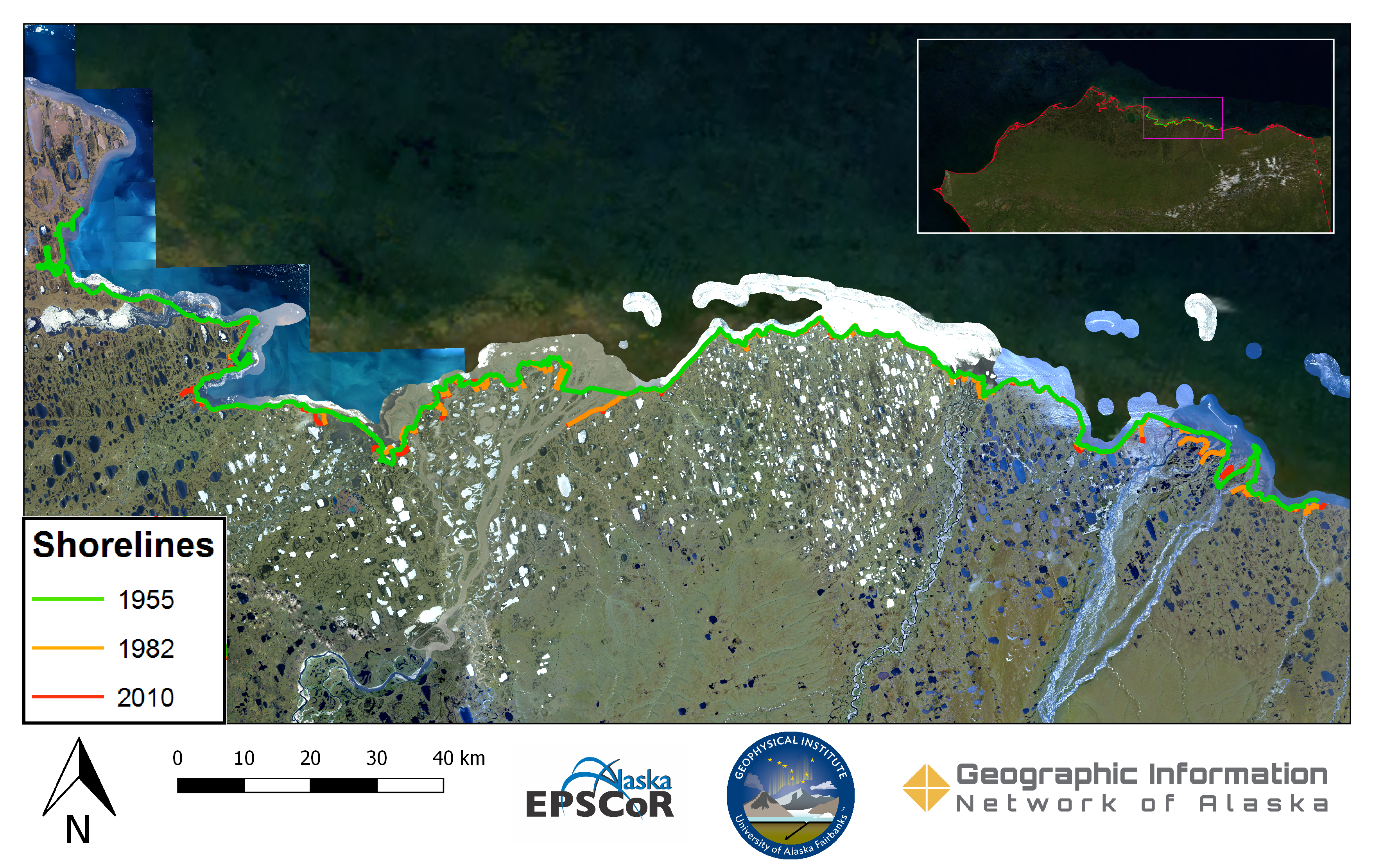
Imagery provided by the Geographic Information Network of Alaska's (GINA) web mapping service were used to delineate shorelines from 1955, 1982, and 2010. 1955 orthoimagery collected by...
Dodаtne informаcije
| Polje | Vrednost |
|---|---|
| Data last updated | December 17, 2019 |
| Metadata last updated | December 17, 2019 |
| Kreirаno | December 17, 2019 |
| Formаt | image/png |
| Licencа | No License Provided |
| created | over 6 years ago |
| format | PNG |
| has views | True |
| id | 40b003f2-39dc-4e63-99f2-6e659933186f |
| last modified | over 6 years ago |
| mimetype | image/png |
| on same domain | True |
| package id | f980aa35-7b18-4d01-aea0-5b7ea262454a |
| position | 1 |
| revision id | e58eb1f0-5b1f-4573-893c-dd237050b738 |
| size | 9,1 MiB |
| state | active |
| url type | upload |