
Contour
Från sammanfattningen av detta dataset
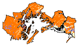
100 ft contour lines for the Chugach National Forest, digitized from USGS 1:63,360 quads. Data available from the United States Department of Agriculture Forest Service.
Källa: Chugach National Forest GIS – 100 ft Contours for Chugach CNF
Mer information
| Fält | Värde |
|---|---|
| Data last updated | December 17, 2019 |
| Metadata last updated | December 17, 2019 |
| Skapad | December 17, 2019 |
| Format | image/gif |
| Licens | Licens ej angiven |
| created | mer än 6 år sedan |
| format | GIF |
| has views | True |
| id | 6612d953-d385-4e3a-aeb4-ff3dca547e61 |
| last modified | mer än 6 år sedan |
| mimetype | image/gif |
| on same domain | True |
| package id | 0903b6ce-f91e-4633-9518-bf5faa561eca |
| position | 1 |
| revision id | 2a83b938-aa5e-42c3-9e23-4a27f39a94f6 |
| size | 4,9 KiB |
| state | active |
| url type | upload |