
aga_prudhoe_b_master_map _2010.png
来自数据集摘要
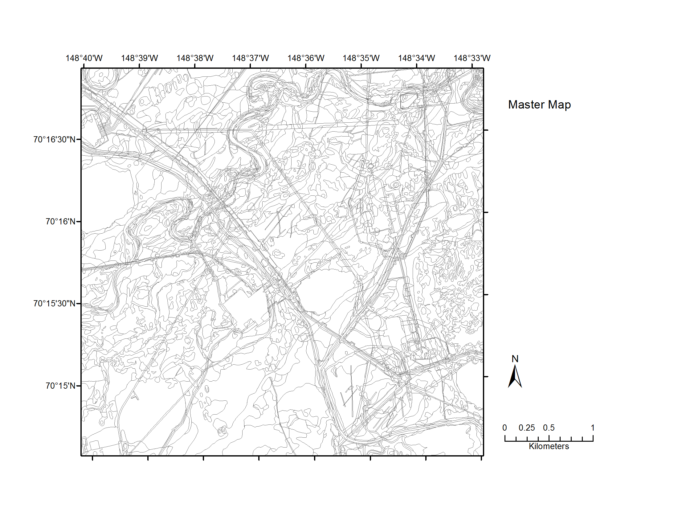
Map B of the historical infrastructure changes for the Prudhoe Bay Oilfield for 10 dates from the initial oil discovery in 1968–2011. Aerial photos taken in 1949 and 1968 were used to...
其他信息
| 域 | 价值 |
|---|---|
| Data last updated | 十二月 17, 2019 |
| Metadata last updated | 十二月 17, 2019 |
| 创建的 | 十二月 17, 2019 |
| 格式 | image/png |
| 授权 | 没有指定授权 |
| created | 6年前 |
| format | PNG |
| has views | True |
| id | f0868f5d-3ce7-4a80-bdd3-d660421163bf |
| last modified | 6年前 |
| mimetype | image/png |
| on same domain | True |
| package id | 0aa5a30f-cfb7-4401-9284-636f5c1e824c |
| position | 5 |
| revision id | b8b069ed-fc3e-4533-9f4d-2931034c7855 |
| size | 230.7 KiB |
| state | active |
| url type | upload |