
aga_prudhoe_c_master_map_2010.png
来自数据集摘要
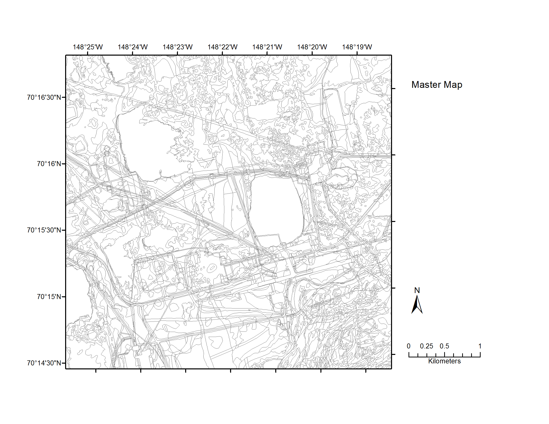
Map C of the historical infrastructure changes for the Prudhoe Bay Oilfield for 10 dates from the initial oil discovery in 1968–2011. Aerial photos taken in 1949 and 1968 were used to...
其他信息
| 域 | 价值 |
|---|---|
| Data last updated | 十二月 17, 2019 |
| Metadata last updated | 十二月 17, 2019 |
| 创建的 | 十二月 17, 2019 |
| 格式 | image/png |
| 授权 | 没有指定授权 |
| created | 6年前 |
| format | PNG |
| has views | True |
| id | e06a507a-1b7c-46b6-b577-ef6916bf043f |
| last modified | 6年前 |
| mimetype | image/png |
| on same domain | True |
| package id | 14121b28-77df-4681-ab96-884a55fb2daf |
| position | 5 |
| revision id | b7232972-1e46-498b-8c25-47a5e1595edb |
| size | 227 KiB |
| state | active |
| url type | upload |