
aga_prudhoe_geobotancal_2014.jpg
根據資料集摘要
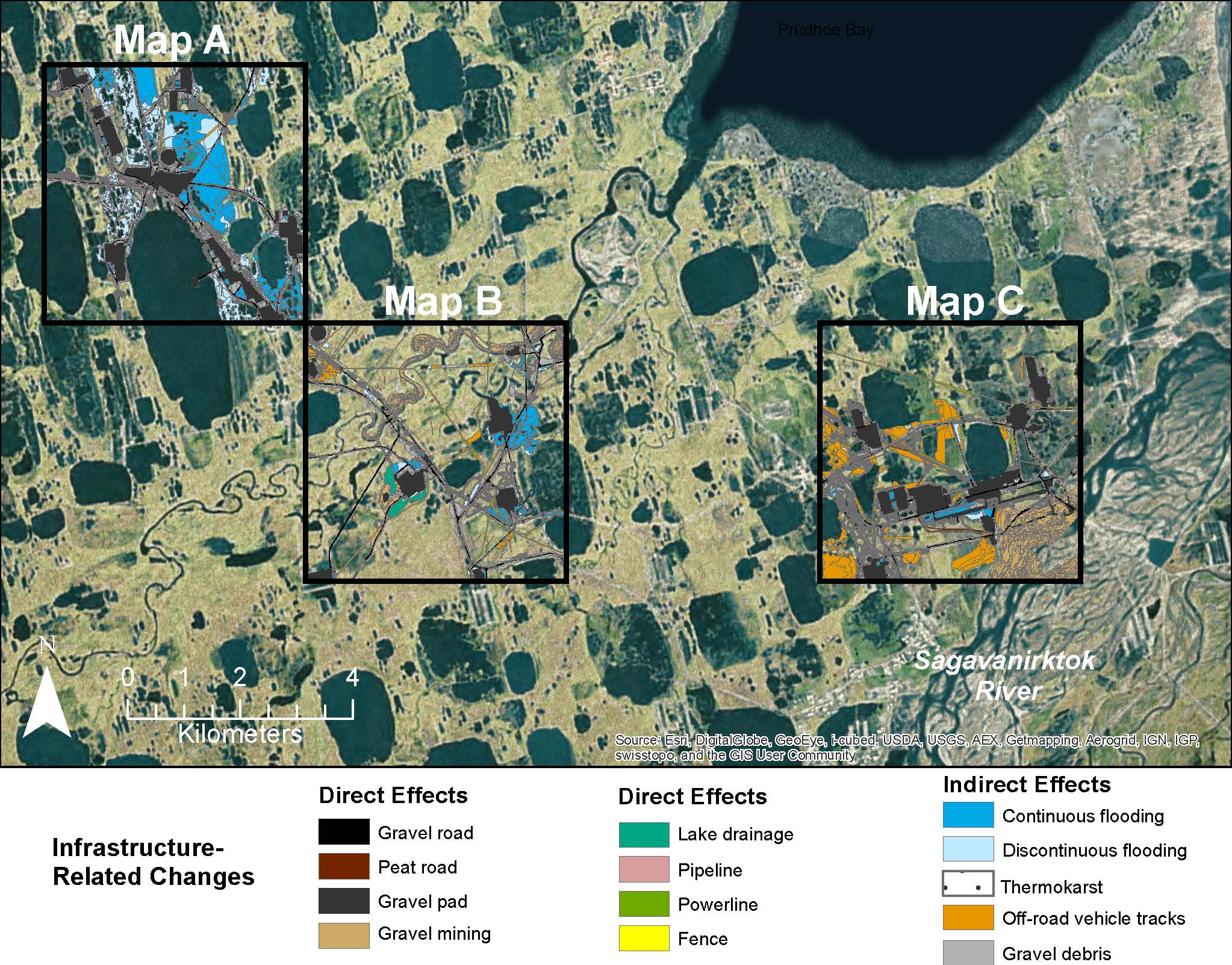
Map B of the historical infrastructure changes for the Prudhoe Bay Oilfield for 10 dates from the initial oil discovery in 1968–2011. Aerial photos taken in 1949 and 1968 were used to...
其他資訊
| 欄位 | 值 |
|---|---|
| 最後更新資料 | 十二月 17, 2019 |
| 最後更新的詮釋資料 | 十二月 17, 2019 |
| 建立 | 十二月 17, 2019 |
| 格式 | image/jpeg |
| 授權 | 沒有可使用的許可 |
| created | 超過 6 年之前 |
| format | JPEG |
| has views | True |
| id | 51f2ed0f-e189-4bfd-91bb-a81c3a04a494 |
| last modified | 超過 6 年之前 |
| mimetype | image/jpeg |
| on same domain | True |
| package id | 0aa5a30f-cfb7-4401-9284-636f5c1e824c |
| revision id | ef3eb1d4-6af1-4344-b6be-157d0ae55567 |
| size | 429.5 KiB |
| state | active |
| url type | upload |