
Map Image
根據資料集摘要
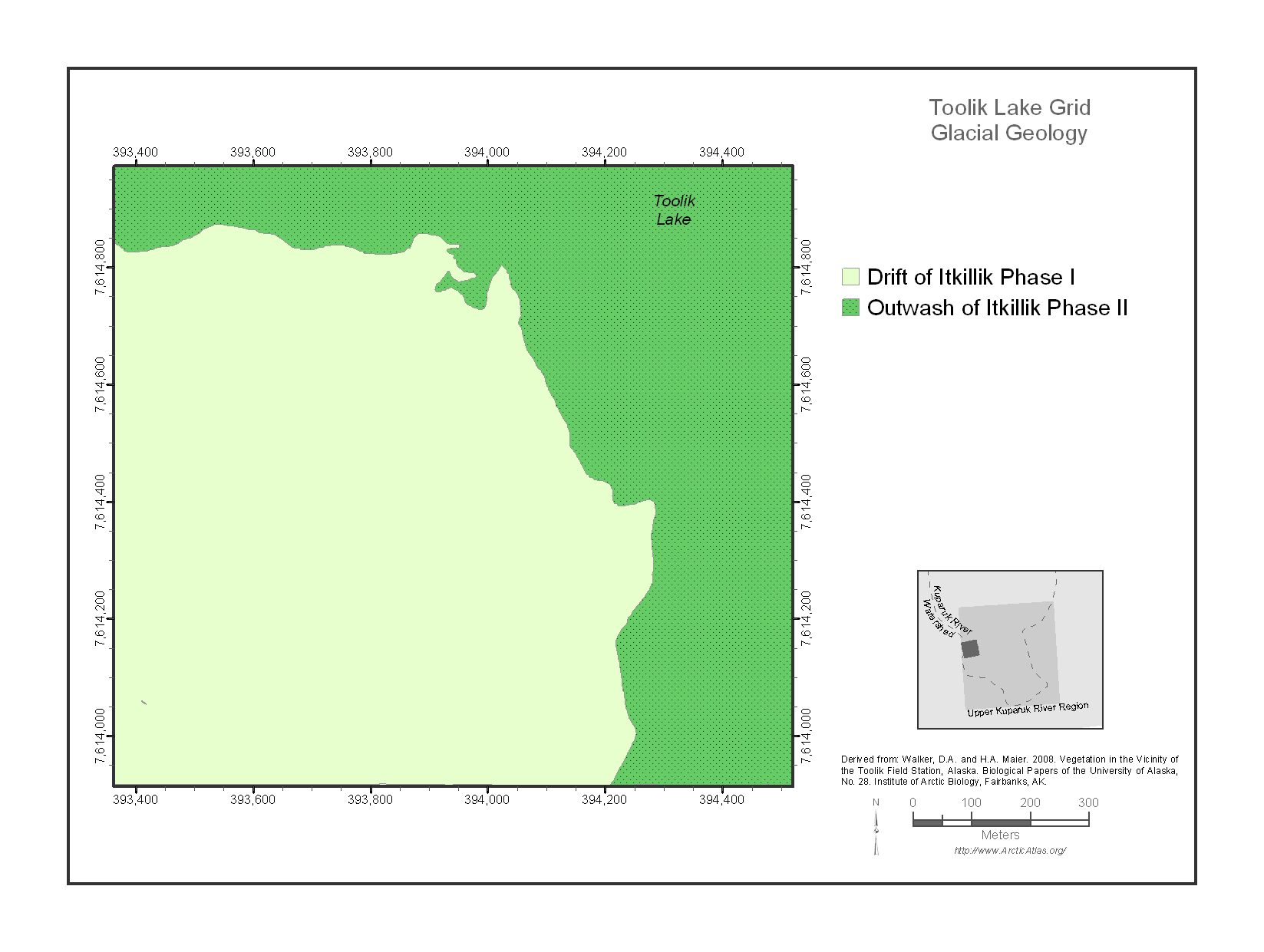
The Toolik Lake Grid map focuses on the south side of Toolik Lake. This area is one of the principal intensive research areas at the Toolik Lake Field Station. It includes many...
其他資訊
| 欄位 | 值 |
|---|---|
| 最後更新資料 | 十二月 17, 2019 |
| 最後更新的詮釋資料 | 十二月 17, 2019 |
| 建立 | 十二月 17, 2019 |
| 格式 | image/png |
| 授權 | 沒有可使用的許可 |
| created | 超過 6 年之前 |
| format | PNG |
| has views | True |
| id | 3b20eb24-56c6-45d6-bb71-4d3cf88797af |
| last modified | 超過 6 年之前 |
| mimetype | image/png |
| on same domain | True |
| package id | 057490b4-967e-43b2-b5bb-945bd5570e69 |
| position | 1 |
| revision id | 34545744-769e-4377-9475-3602678c9e45 |
| size | 43 KiB |
| state | active |
| url type | upload |