
Map Image
根據資料集摘要
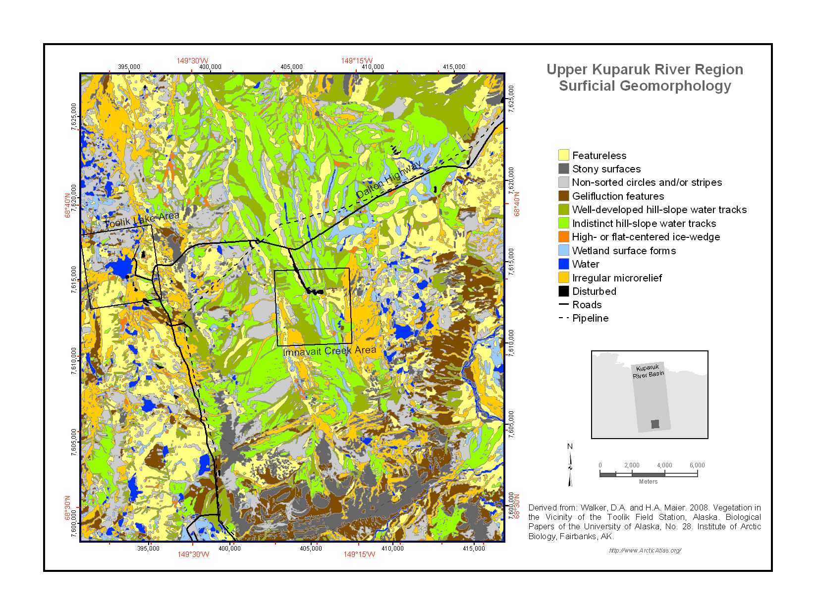
The surfaces of the landscapes in the Toolik Lake region have been modified by a variety of geomorphological processes including alluviation (movement of material by water), colluviation...
其他資訊
| 欄位 | 值 |
|---|---|
| 最後更新資料 | 十二月 17, 2019 |
| 最後更新的詮釋資料 | 十二月 17, 2019 |
| 建立 | 十二月 17, 2019 |
| 格式 | image/png |
| 授權 | 沒有可使用的許可 |
| created | 超過 6 年之前 |
| format | PNG |
| has views | True |
| id | d8002fe4-b77d-4b98-b41f-4f4223b5c94e |
| last modified | 超過 6 年之前 |
| mimetype | image/png |
| on same domain | True |
| package id | 4f2f4fbc-f945-49cc-bbc3-f592199ee755 |
| position | 1 |
| revision id | 5cf3b166-cabe-440b-b72c-347a15052ec9 |
| size | 294.8 KiB |
| state | active |
| url type | upload |