
Map Image Preview
Del resumen del conjunto de datos
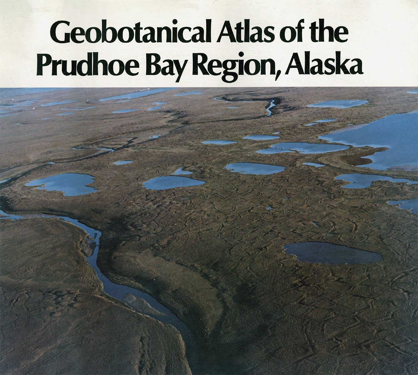
This map covers most of the Prudhoe Bay Oilfield on the North Slope of Alaska that was under development in 1980, covering 145 km^2. The map synthesizes work done for the US Army Corps of...
Fuente: Geobotanical Atlas of the Prudhoe Bay Region (Walker et al. 1980)
Información adicional
| Campo | Valor |
|---|---|
| Última actualización de los datos | Diciembre 17, 2019 |
| Última actualización de los metadatos | Diciembre 17, 2019 |
| Creado | Diciembre 17, 2019 |
| Formato | image/jpeg |
| Licencia | No se ha proporcionado una licencia |
| created | hace 6 años |
| format | JPEG |
| has views | True |
| id | d41c39e0-af7c-4f4f-9336-2235bc79ed13 |
| last modified | hace 6 años |
| mimetype | image/jpeg |
| on same domain | True |
| package id | d54617b8-146b-4622-89b3-33107cbb416b |
| position | 2 |
| revision id | 81f06477-5fb2-4030-8ee6-f9454d78ccd9 |
| size | 1,3 MiB |
| state | active |
| url type | upload |