
Map Image
Del resumen del conjunto de datos
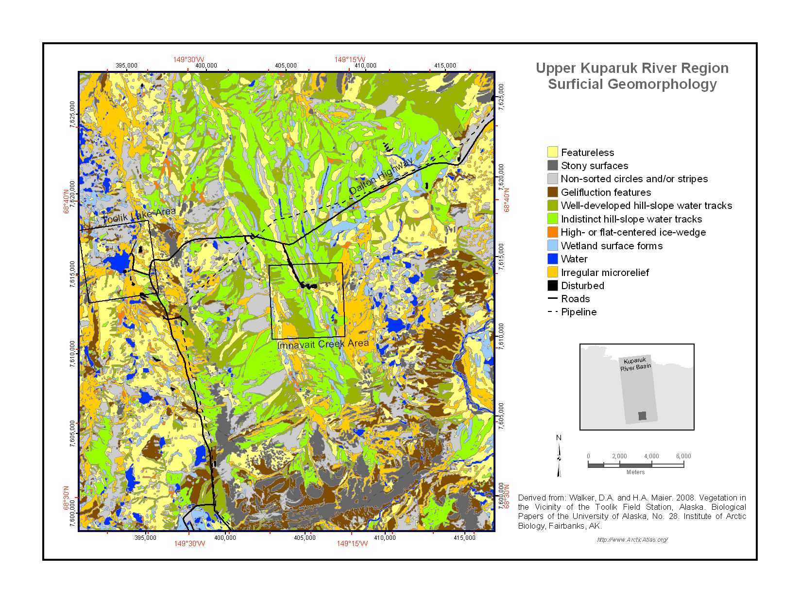
The surfaces of the landscapes in the Toolik Lake region have been modified by a variety of geomorphological processes including alluviation (movement of material by water), colluviation...
Información adicional
| Campo | Valor |
|---|---|
| Última actualización de los datos | Diciembre 17, 2019 |
| Última actualización de los metadatos | Diciembre 17, 2019 |
| Creado | Diciembre 17, 2019 |
| Formato | image/png |
| Licencia | No se ha proporcionado una licencia |
| created | hace 6 años |
| format | PNG |
| has views | True |
| id | d8002fe4-b77d-4b98-b41f-4f4223b5c94e |
| last modified | hace 6 años |
| mimetype | image/png |
| on same domain | True |
| package id | 4f2f4fbc-f945-49cc-bbc3-f592199ee755 |
| position | 1 |
| revision id | 5cf3b166-cabe-440b-b72c-347a15052ec9 |
| size | 294,8 KiB |
| state | active |
| url type | upload |