
aga_prudhoe_b_change_2010.jpg
Datu multzoaren laburpenarena
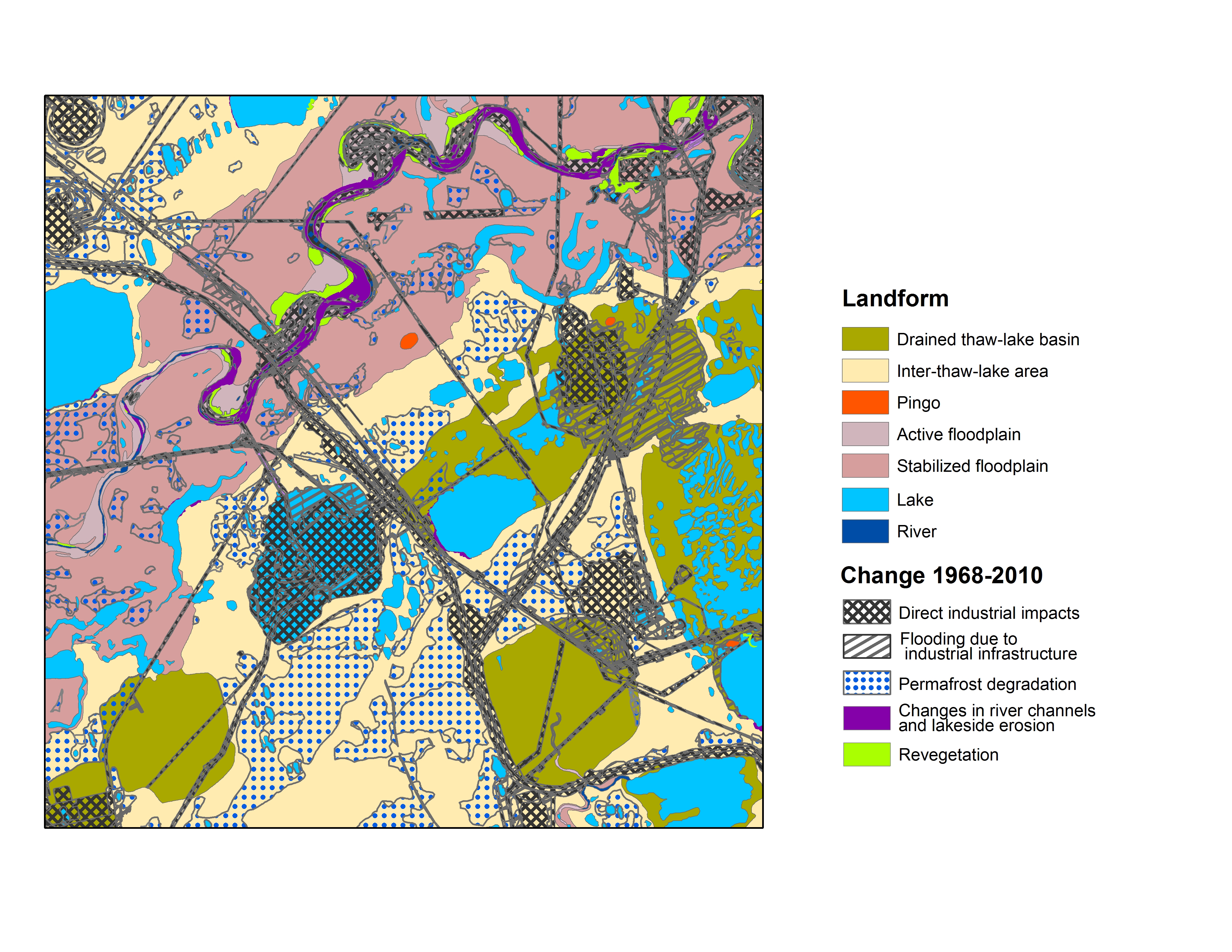
Map B of the historical infrastructure changes for the Prudhoe Bay Oilfield for 10 dates from the initial oil discovery in 1968–2011. Aerial photos taken in 1949 and 1968 were used to...
Informazio gehigarria
| Eremua | Balorea |
|---|---|
| Datuen azken eguneratzea | Abendua 17, 2019 |
| Metadatuen azken eguneratzea | Abendua 17, 2019 |
| Sortuta | Abendua 17, 2019 |
| Formatua | image/jpeg |
| Lizentzia | Ez da lizentzia batez hornitu |
| created | duela 6 urte |
| format | JPEG |
| has views | True |
| id | afb78480-d1cd-49bd-9c88-8da56e561203 |
| last modified | duela 6 urte |
| mimetype | image/jpeg |
| on same domain | True |
| package id | 0aa5a30f-cfb7-4401-9284-636f5c1e824c |
| position | 1 |
| revision id | e29b62b2-1d5e-4cee-b00c-c71342856fdb |
| size | 5,6 MiB |
| state | active |
| url type | upload |