
marine.png
データセットの概要より
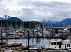
The Marine Resource Planning map of the Southeast Alaska Coastal Module contains vessel traffic, oil spill response layers, mariculture, ESI, earthquakes, spills, landslides, and other...
追加情報
| フィールド | 値 |
|---|---|
| 最終更新日 | 2019 / 12月 / 17, |
| メタデータ最終更新日時 | 2019 / 12月 / 17, |
| 作成日 | 2019 / 12月 / 17, |
| データ形式 | image/png |
| ライセンス | ライセンスが提示されていません |
| created | 6 年以上前 |
| format | PNG |
| has views | True |
| id | 9a53d897-b2e4-4c4c-bda2-08d99a809210 |
| last modified | 6 年以上前 |
| mimetype | image/png |
| on same domain | True |
| package id | 456c08f2-3cc4-43c4-bc81-d22d10af6d25 |
| position | 3 |
| revision id | 6f63aca1-9b75-4ac6-a143-23a1ae6dcf1b |
| size | 136.7 KiB |
| state | active |
| url type | upload |