
aga_prudhoe_geobotancal_2014.jpg
Uit de dataset abstract
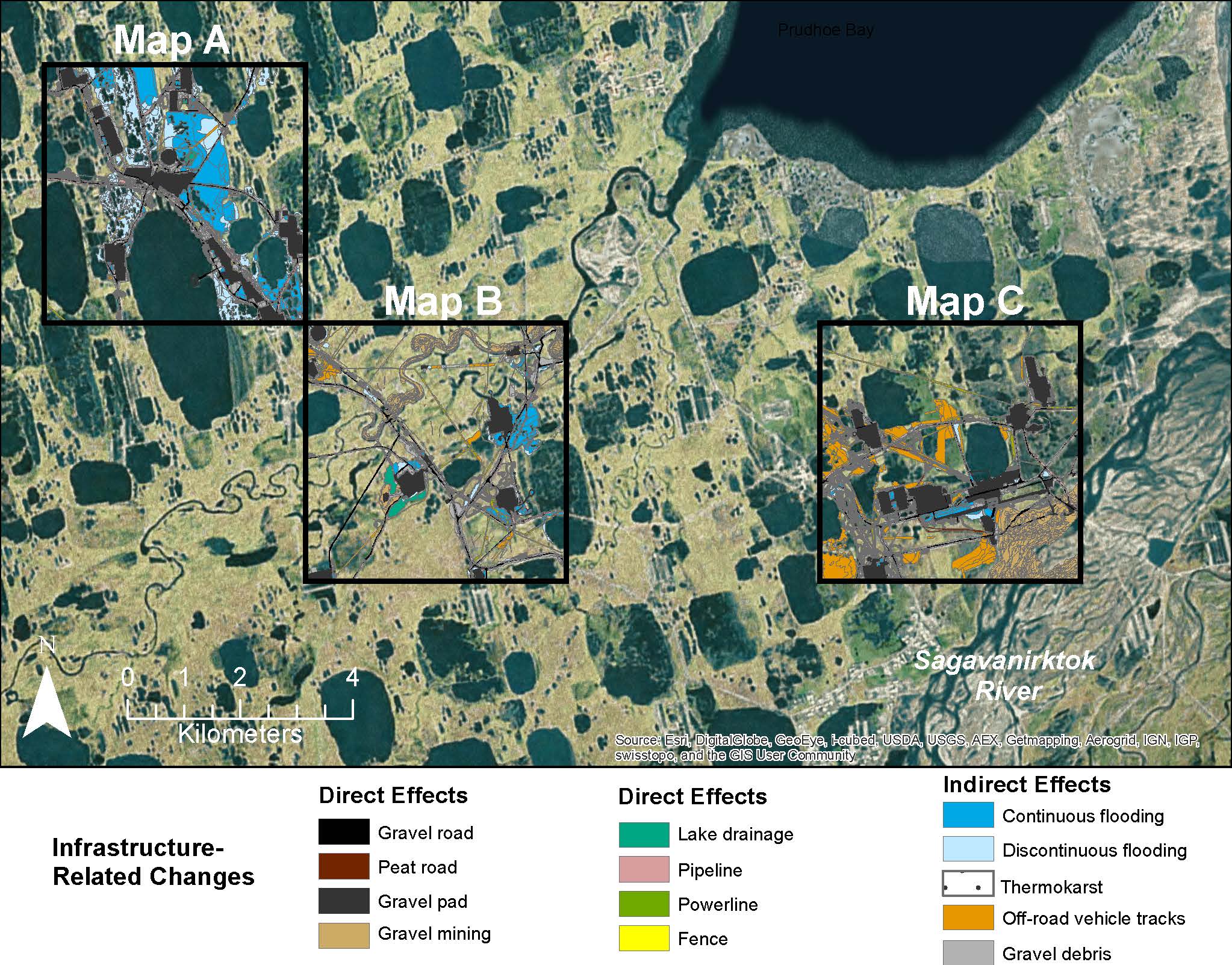
Map C of the historical infrastructure changes for the Prudhoe Bay Oilfield for 10 dates from the initial oil discovery in 1968–2011. Aerial photos taken in 1949 and 1968 were used to...
Additionele informatie
| Veld | Waarde |
|---|---|
| Data laatst gewijzigd | 17 december, 2019 |
| Metadata laatst gewijzigd | 17 december, 2019 |
| Gecreëerd | 17 december, 2019 |
| Formaat | image/jpeg |
| Licentie | Geen licentie verstrekt |
| created | meer dan 5 jaren geleden |
| format | JPEG |
| has views | True |
| id | a85c5920-51ae-4ddb-b7e5-8e2955ab07ff |
| last modified | meer dan 5 jaren geleden |
| mimetype | image/jpeg |
| on same domain | True |
| package id | 14121b28-77df-4681-ab96-884a55fb2daf |
| position | 4 |
| revision id | e826514e-26f7-4b83-a7c4-6173d1e6677e |
| size | 429,5 KiB |
| state | active |
| url type | upload |