
aga_prudhoe_c_master_map_2010.png
З опису набори даних
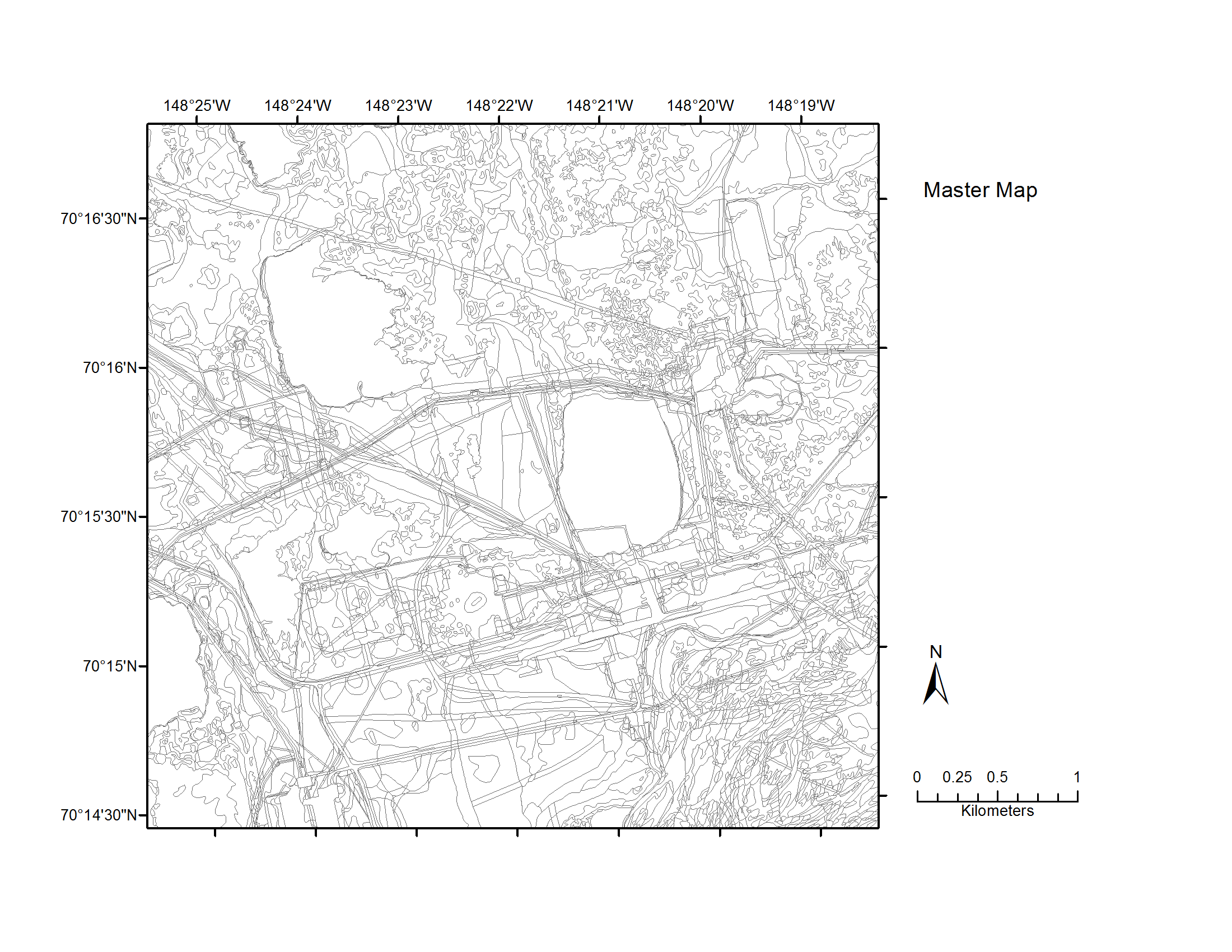
Map C of the historical infrastructure changes for the Prudhoe Bay Oilfield for 10 dates from the initial oil discovery in 1968–2011. Aerial photos taken in 1949 and 1968 were used to...
Додаткова інформація
| Поле | Значення |
|---|---|
| Останнє оновлення даних | 17 Грудень 2019 |
| Останнє оновлення метаданих | 17 Грудень 2019 |
| Створено | 17 Грудень 2019 |
| Формат | image/png |
| Ліцензія | Не вказано ліцензію |
| created | більше 6 років назад |
| format | PNG |
| has views | True |
| id | e06a507a-1b7c-46b6-b577-ef6916bf043f |
| last modified | більше 6 років назад |
| mimetype | image/png |
| on same domain | True |
| package id | 14121b28-77df-4681-ab96-884a55fb2daf |
| position | 5 |
| revision id | b7232972-1e46-498b-8c25-47a5e1595edb |
| size | 227 KiB |
| state | active |
| url type | upload |