
Map Image
根據資料集摘要
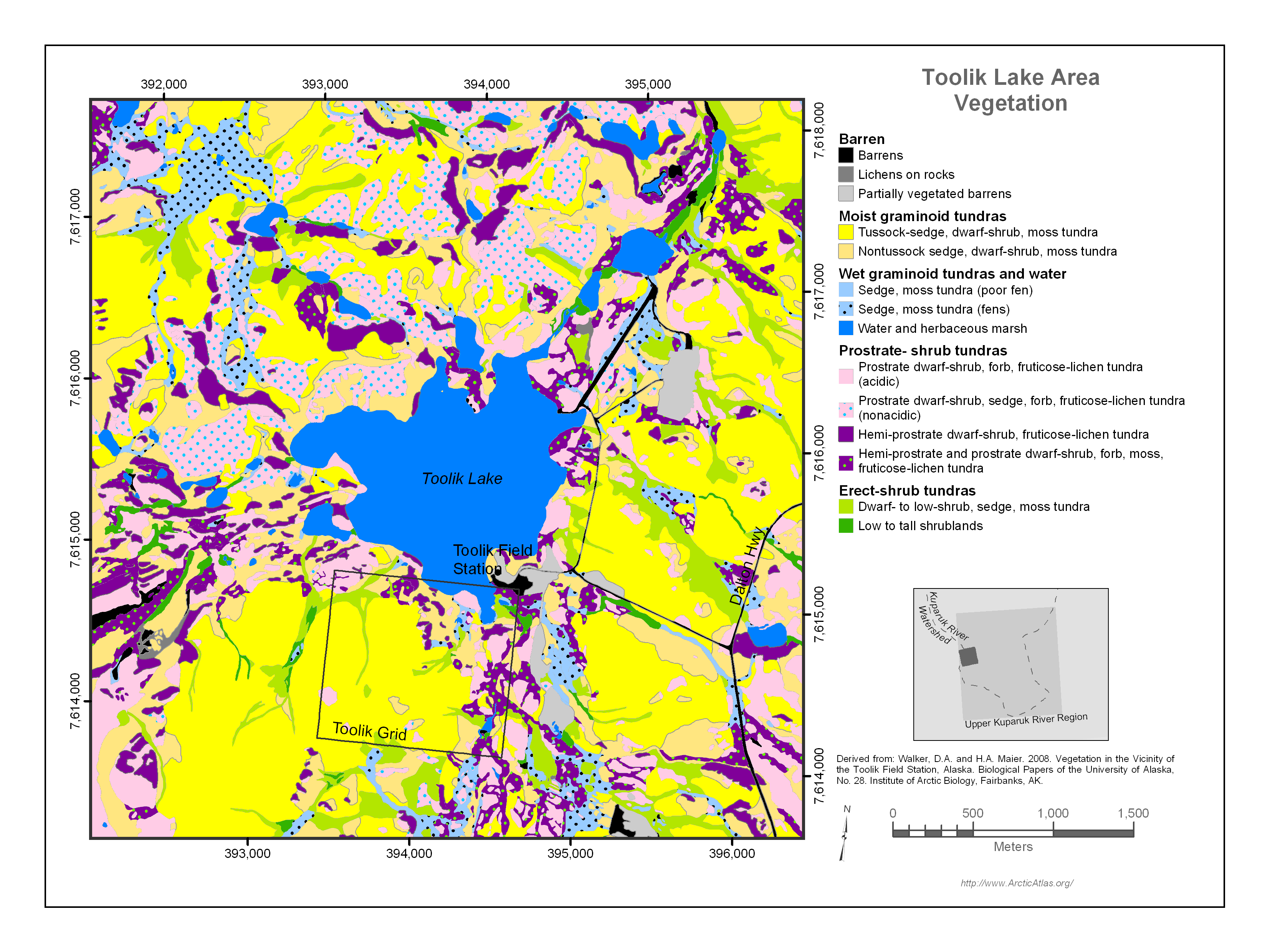
Map of the Toolik Lake research area . The attribute table contains data for vegetation. The Toolik Lake vegetation area is located near the western boundary of the Upper Kuparuk River...
其他資訊
| 欄位 | 值 |
|---|---|
| 最後更新資料 | 十二月 17, 2019 |
| 最後更新的詮釋資料 | 十二月 17, 2019 |
| 建立 | 十二月 17, 2019 |
| 格式 | image/png |
| 授權 | 沒有可使用的許可 |
| created | 超過 6 年之前 |
| format | PNG |
| has views | True |
| id | cb935860-7c56-481f-8627-1a124238f513 |
| last modified | 超過 6 年之前 |
| mimetype | image/png |
| on same domain | True |
| package id | cc73295e-b4b4-4ccf-a223-115e5c1b7209 |
| position | 1 |
| revision id | ca00f2f1-1ba1-4201-a7e3-71afa3472680 |
| size | 632.4 KiB |
| state | active |
| url type | upload |